
Innovation and excellence are at the heart of everything we strive for at Axias, and our Condition Assessment service is leading the way with the utilization of unmanned aerial vehicles (UAV), better known as drones, during our condition assessment process. This exciting advancement is changing how we gather data, helping ensure the safety of our staff, and helping us deliver additional value to our clients.
Why use UAVs? First and foremost, safety is our top priority. By incorporating drones into our assessments, we significantly reduce the need for our inspectors to access hazardous or physically hard-to-reach areas. No more precarious climbs on rooftops, high-rise buildings, or potentially unstable structures for Axias' assessors. This means a significant decrease in the risk of accidents, falls, and injuries associated with manual inspections. We're committed to protecting our team while providing the detailed condition assessment reports Axias is known for.
Drones offer unparalleled benefits when it comes to data collection. They can access previously out-of-reach areas, such as high building facades, sloped roofs, and other often inaccessible locations. Gone are the days of relying solely on ground-level assessments with binoculars and handheld cameras. Our drones bring us up close and personal with building elements, allowing us to capture detailed photographs and videos for a more comprehensive evaluation of building systems. This opens up a world of possibilities, especially in densely populated cities where viewing angles from the ground can be limited due to the city's vertical nature.
At Axias, our commitment to providing detailed facility and property condition assessments remains unwavering. We aim to surpass the industry standards set by ASTM, constantly seeking ways to improve and mitigate risks for our valued clients and their investments. Our dedication to excellence continues to garner positive feedback, and we're excited to roll out this service wherever necessary and permitted by the FAA.
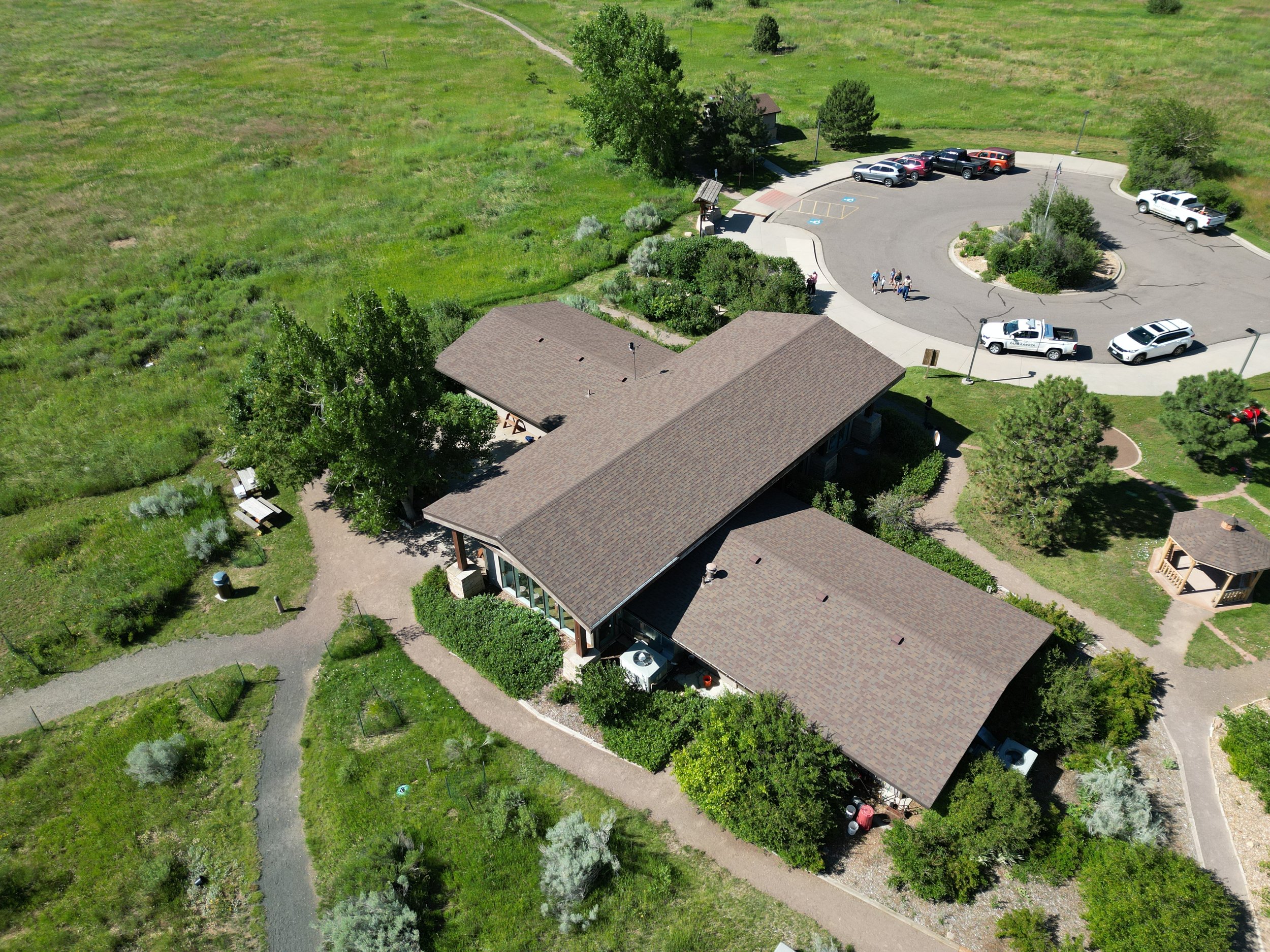
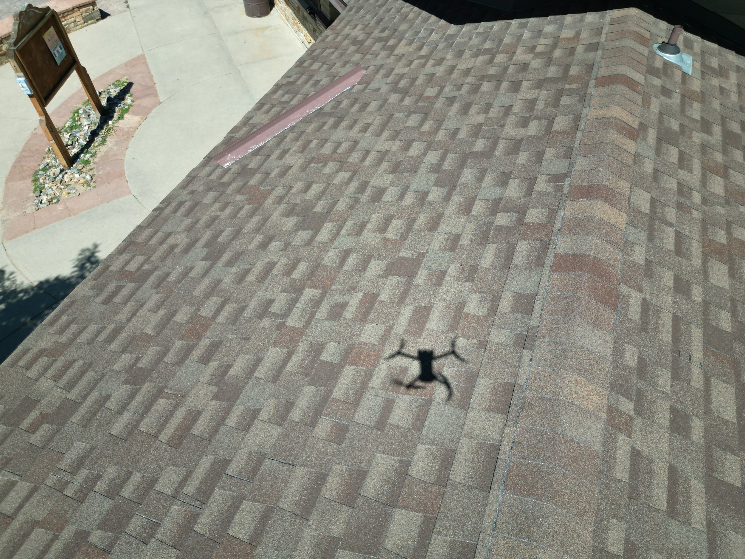
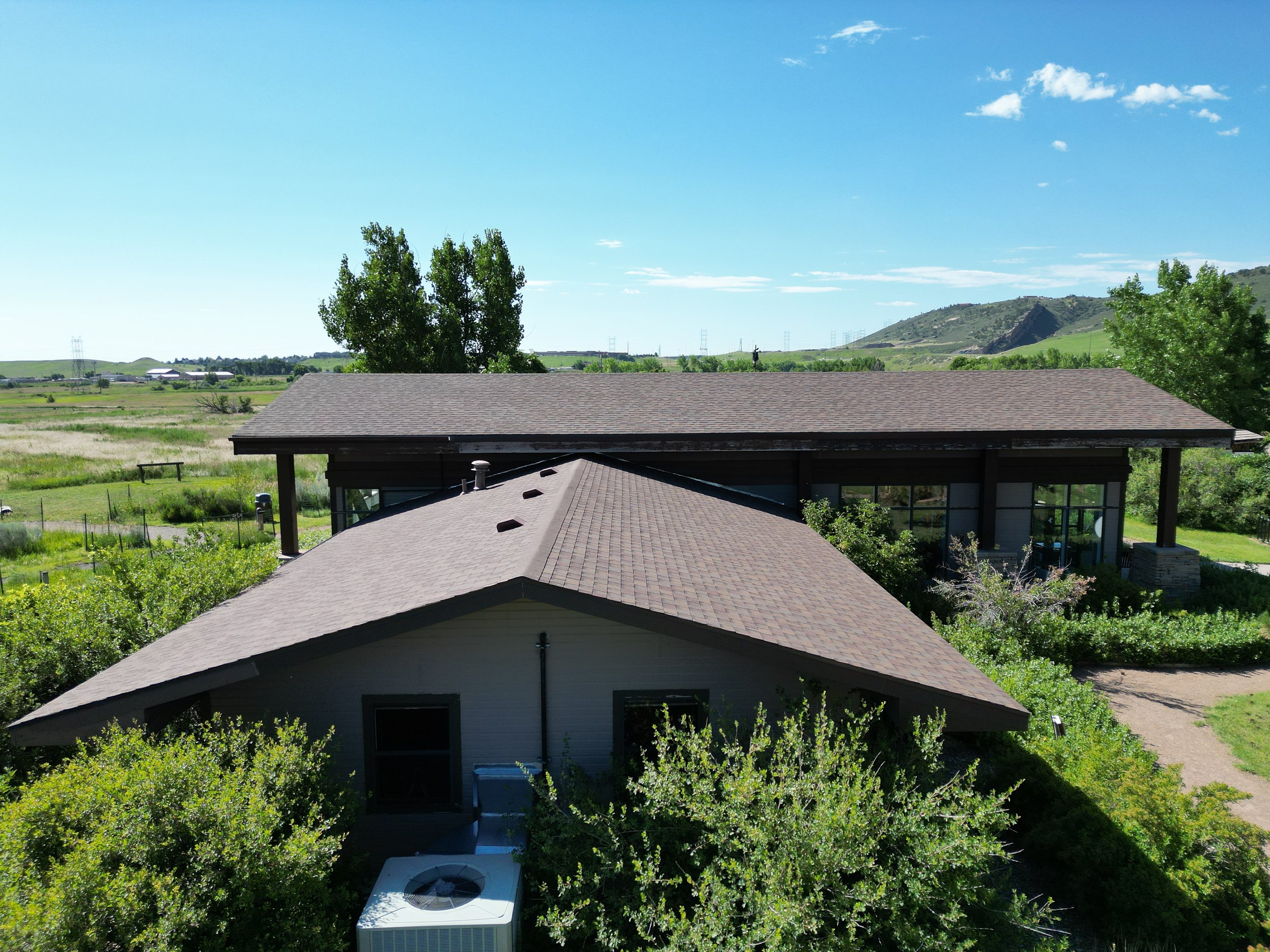
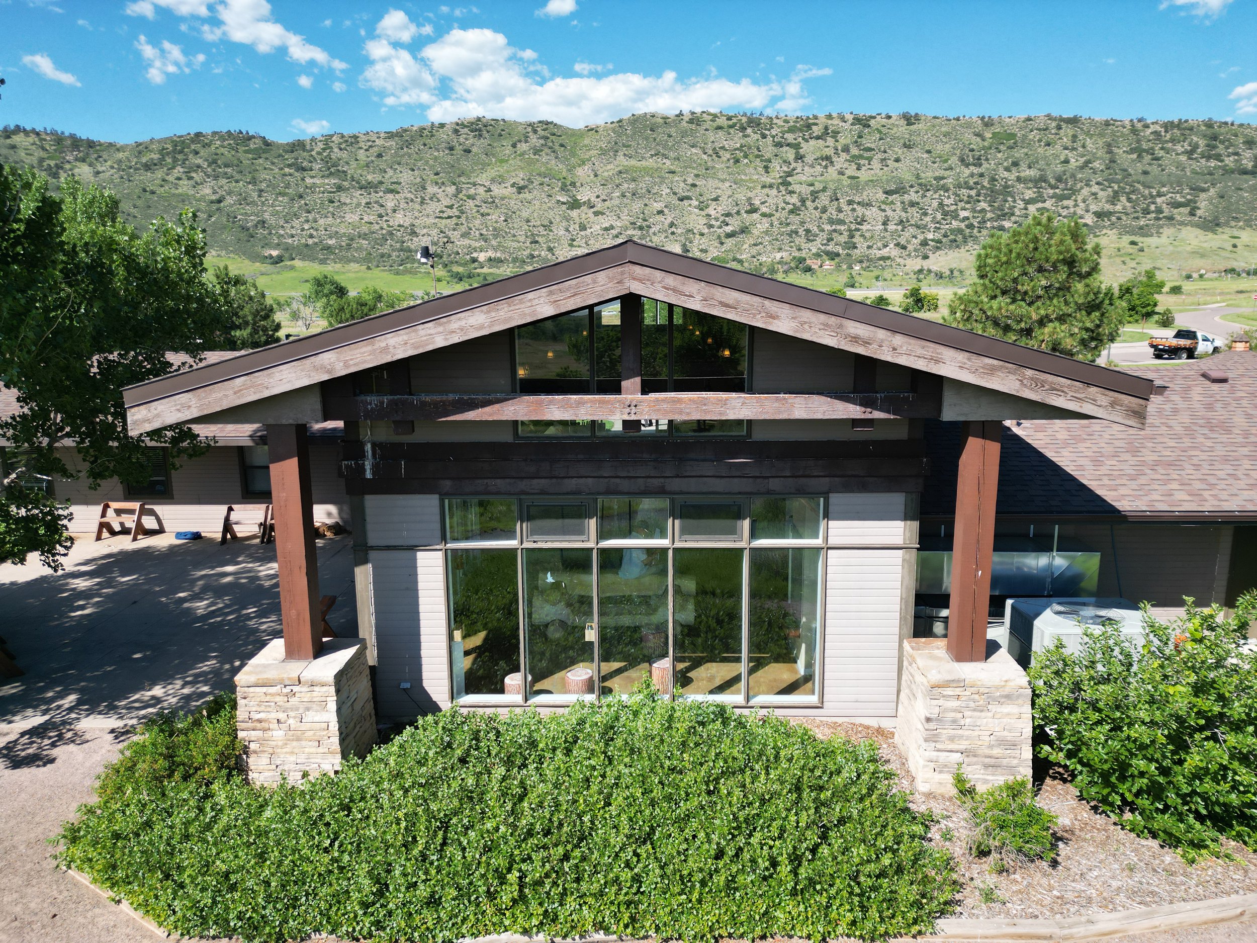
Our drones were high above Bear Creek Lake Park in Lakewood, Colorado last week helping us get a bird’s eye view of trail and parking surface conditions, and up-close views of sloped roofs. This condition assessment work is supporting the City’s master planning efforts for the 2,624-acre park.